Show summary Hide summary
A high-resolution satellite map of global freshwater trends from 2002 to 2025 shows people are reshaping Earth’s water stores more than scientists previously realized. The study finds both larger local gains and steeper losses than earlier work, with groundwater pumping emerging as a dominant human driver in many of the world’s agricultural regions.
Sharper satellite picture
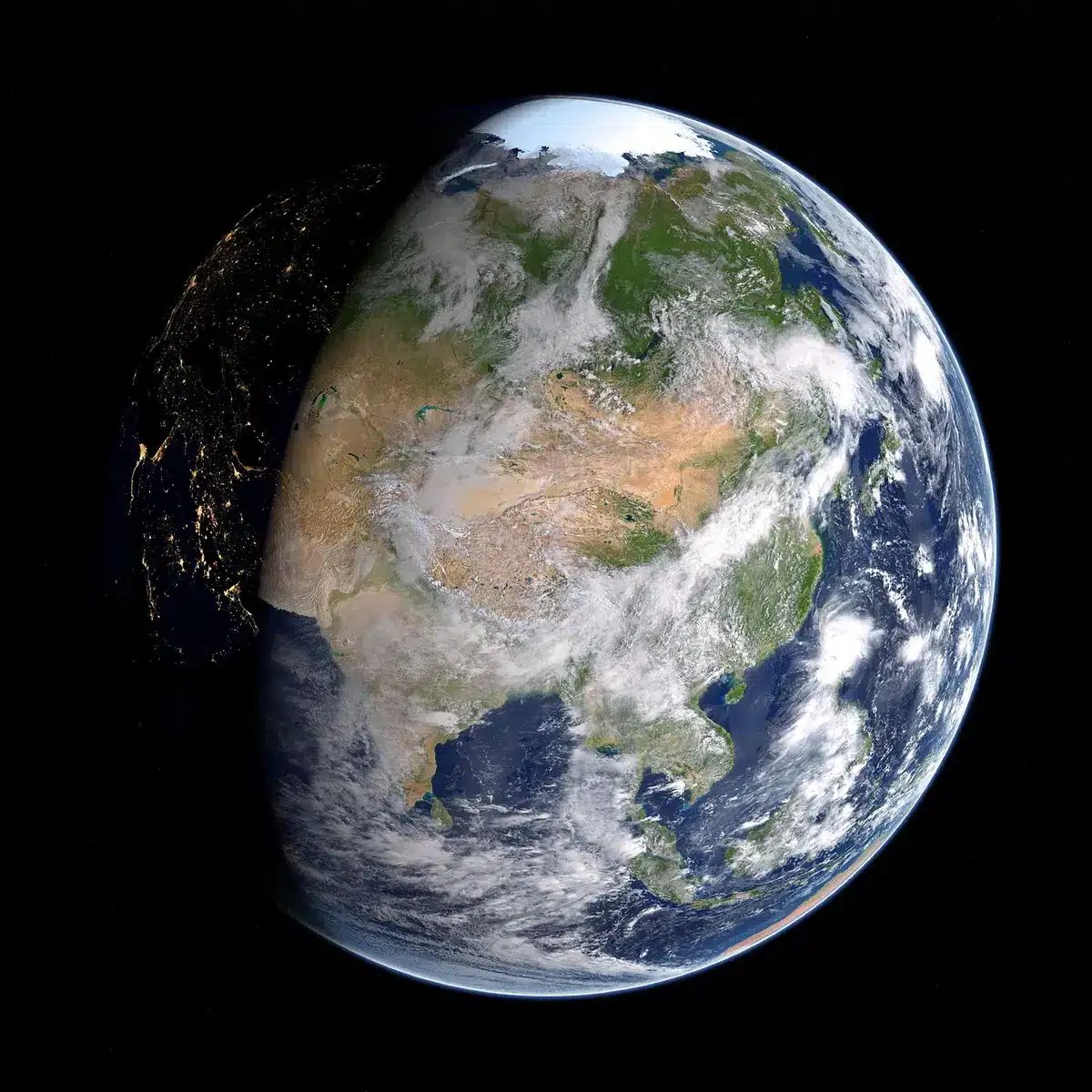
Using data from NASA’s GRACE and GRACE-FO missions, researchers produced a much finer-grained rendering of changes in terrestrial water storage than standard methods allowed. That increased resolution made regional increases and decreases roughly 33% stronger on average than prior estimates, the team reports.
Paramount closes hard-fought acquisition of Warner Bros. Discovery: how the deal unfolded
Entertainment Roundup: Symbioz’s Istanbul Drama, Apple TV’s Dustfall, Skydance Layoff Questions
The analysis covered 2002–2025 and relied on geostatistical processing to sharpen signals that previous studies treated as broad, blurry patterns. First author Mary Michael Forrester O’Neill, a researcher with the University of Maryland’s Earth System Science Interdisciplinary Center and NASA Goddard’s Hydrological Sciences Laboratory, said the approach allowed the team to separate local human impacts from climate variability more reliably.
Human fingerprints versus climate
One key advance was attributing freshwater changes to specific causes. The authors ranked human activities — like irrigation, reservoir filling and canal construction — against climate factors such as rainfall and drought. That attribution revealed 94 regions with above-background shifts in water storage, and identified 40 hotspots where human land or water use was the primary influence.
Forrester O’Neill said earlier work could identify long-term loss and gain but often could not say how much of that signal was driven by people rather than climate. “Water managers and downstream communities need to know which aquifer, reservoir, or irrigation district is responsible for a given trend in large-scale freshwater storage, not just that ‘somewhere in this country, water is being lost,'” she told Live Science.
Where water is being added — and where it is disappearing
Of the 40 human-dominated hotspots, 22 showed net gains tied to factors such as rain-fed agriculture, surface-water irrigation, reservoir impoundment and land changes that reduce plant water use. The filling of large reservoirs can create clear local increases — for example, central Russia’s Boguchany Reservoir was identified as a gain area in the study.
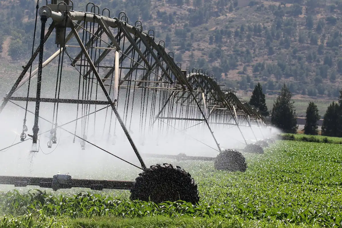
By contrast, 18 hotspots lost freshwater mainly because of heavy groundwater extraction and new diversions or canals. The research highlights northern India, southern Iran and the U.S. southern High Plains (the area spanning parts of Colorado, Kansas, New Mexico, Oklahoma and Texas) as regions with pronounced depletion linked to irrigation.
Deeper depletion than expected
Compared with earlier estimates, the pace of aquifer pumping in several critical regions is notably higher. The team reports that groundwater extraction is about 45% more pronounced on average than previous studies suggested. That intensification is particularly worrying because major food-producing areas already rely heavily on groundwater.
Previous literature cited by the authors points to chronic overuse in places such as the U.S. High Plains and California’s Central Valley, northern India, Pakistan, North China and the Fertile Crescent. Forrester O’Neill noted the overlap between depletion hotspots and intensive irrigation raises clear food-security concerns.
Limits to the data — and why the timing matters
The GRACE satellites detect changes in mass, not absolute storage. “GRACE satellites measure the rate of change in water mass, not the total volume stored in an aquifer, so we have no independent basis for estimating time to depletion or a timeline for systems to collapse,” Forrester O’Neill said. That means the study can reveal trends and where pressure is building, but not a precise clock for when wells will run dry.
Experts warn, however, that economic and practical limits will arrive sooner rather than later in many places. Even modest declines in the water table — a few meters — can render a significant share of existing wells unusable. Pumping deeper is costly, and those expenses fall heaviest on vulnerable communities.
Policy and risk hotspots
Hydrologist Hrishikesh Chandanpurkar, who was not involved in the paper and co-founded the Evergreen Resilience Institute, described the picture as worrying. “It has become very dire in a lot of places,” he told Live Science.
Forrester O’Neill and colleagues singled out several countries where acute groundwater depletion is already a concern, including Iran, Saudi Arabia, Syria, Türkiye, Iraq and Libya. They also flagged Mexico as a country to monitor because documented increases in well depth coincide with observed terrestrial water storage loss.
Where the research appears
The findings were published Sept. 14 in Proceedings of the National Academy of Sciences. The study is cited as O’Neill, Rodell and Loomis (2026): Spatially refined satellite gravimetry captures human signatures in global terrestrial water storage trends (PNAS 123: e2600775123; https://doi.org/10.1073/pnas.2600775123).